Rs.6,999/
Per PersonThe Hampta Pass Trek in Himachal Pradesh is an awe-inspiring journey that will leave you breathless. The trek is located at an altitude of 14,000 feet and covers a distance of almost 26 km. The trail is adorned with stunning landscapes such as forests, meadows, waterfalls, and blooming flowers. The trek begins in Manali, a charming township in Himachal Pradesh, and passes through various terrains, from barren mountains to lush green forests.
As you cross over the Hampta Pass, the landscape changes dramatically, unveiling a stark contrast between the Spiti Valley’s rugged terrain and endless blue skies and the lush green valley nestled between snow-capped mountains. The contrast between the two sides of the pass is not just striking; it’s a marvel. The summit offers a dramatic spectacle of a world of difference emerging in a mere matter of minutes.
The ledges along the trail add an element of suspense, making this trek a must for those seeking an adrenaline rush. The sense of adventure is palpable, making every step a thrilling experience. The few flowers you will see are the Himalayan Blue Poppy and Pink Hill Geranium, and you will see the forest changing from apple orchards to deodar to oak trees.
The Hampta Pass Trek is not just a journey; it’s a thrilling adventure that will keep you on the edge of your seat.
Included and Excluded
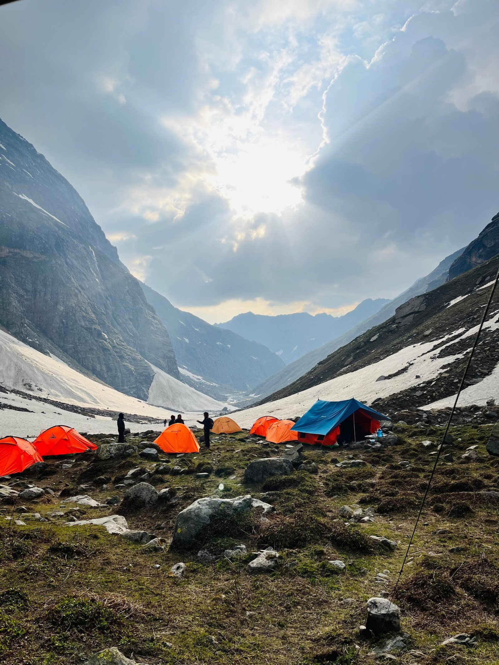
- Stay: 4 Nights of tented accommodation at individual campsites of Xplorethedreams on twin sharing.
- Meals: Xplorethedreams will provide freshly cooked meals during the trek starting with Lunch on Day 1 to Lunch on day 5 (Meals are simple, nutritious, and vegetarian)
- Trek Insurance (Optional): Xlporethedreams recommends that all trekkers consider getting trek insurance. This is optional, but highly recommended. Trek insurance covers unexpected events that may occur during your trek. The cost of the insurance starts from INR 210.
- Trek Equipment: Sleeping bag, Sleeping tents, Kitchen tent, Dining tent, Toilet Tent.
- Amenities: All utensils, sleeping mattresses (Black foam mats), Crampons, and Gaiters for snow.
- Health & Safety: First Aid Box, Oxygen Cylinders, Stretchers, Oxi meters, BP Machines, health.
- Permits: Forest Permits and Camping Permission Fee
- Trek Crew: High Altitude Chef, Helpers, Trek Leader & Guides, and other support teams.
- Potters & Mules: Potters and Mules are to carry all trekking equipment, ration, and vegetables.
- GST 5% (it is Mandatory)
- Any Meals/accommodation beside the itinerary or not mentioned in the program.
- Any Bus / Airfare to/from trek start/end point
- Personal Medical expenses do carry your medication.
- Any personal services such as Laundry, phone calls, liquors, mineral water, etc.
- Any still / video camera fee
- Any Entrance fee Monuments, Monasteries, Museums, Temples – Pay directly on the spot.
- Mules or porter charges to carry private baggage (Offload Charges for bag 2300 for whole trek, if paid online (at base camp 2,500). Note: Bag weight should not be more than 10 kg.
- Any emergency evacuation charges
- Any services that are not mentioned in the cost inclusion section.
Highlights of the Tour
Itinerary
Stay: Overnight stay at the camp. Meal: Dinner will be provided. Trek Distance: The trekking route covers a distance of 15 km on the road, followed by a 1.5 km trek. The total time for the trek is 4 hours, including 2 hours of travel on the road and 2 hours of trekking. Altitude: The trek covers three altitudes – Manali (6730 feet / 2050 meters), Jobra (9800 feet / 2987 meters), and Chika (10,100 feet / 3078 meters). Altitude Gain: The altitude gain during the trek is 3070 feet / 937 meters from Manali to Jobra and 300 feet / 91 meters from Jobra to Chika. Trek Grade: The trek is graded as gradual from Jobra to Chika, ensuring your safety and comfort throughout the journey. To begin your trek to Chika, you must first travel by road from Manali to Jobra. The drive will take around 2 hours, and along the way, you will encounter 30 hairpin bends, which is an adventure in itself. As you start the trek, after walking for a short distance, you will see the Rani Nallah flowing directly through the meadow, with cows and sheep roaming around the grass fields, making it look like something out of a fairytale. You will be walking through the meadow on the left side of the hill. Regardless of which way you choose, you will eventually reach Chika, which is situated at the bottom of the meadow’s vast expanse. However, climbing the hill and descending to Chika is the best and most convenient way. The Chika campsite is an ample, beautiful green space, and the Rani River is the perfect spot to set up camps.
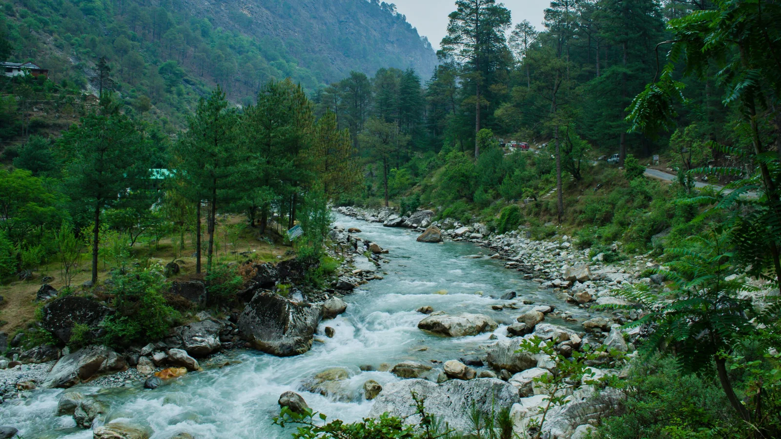
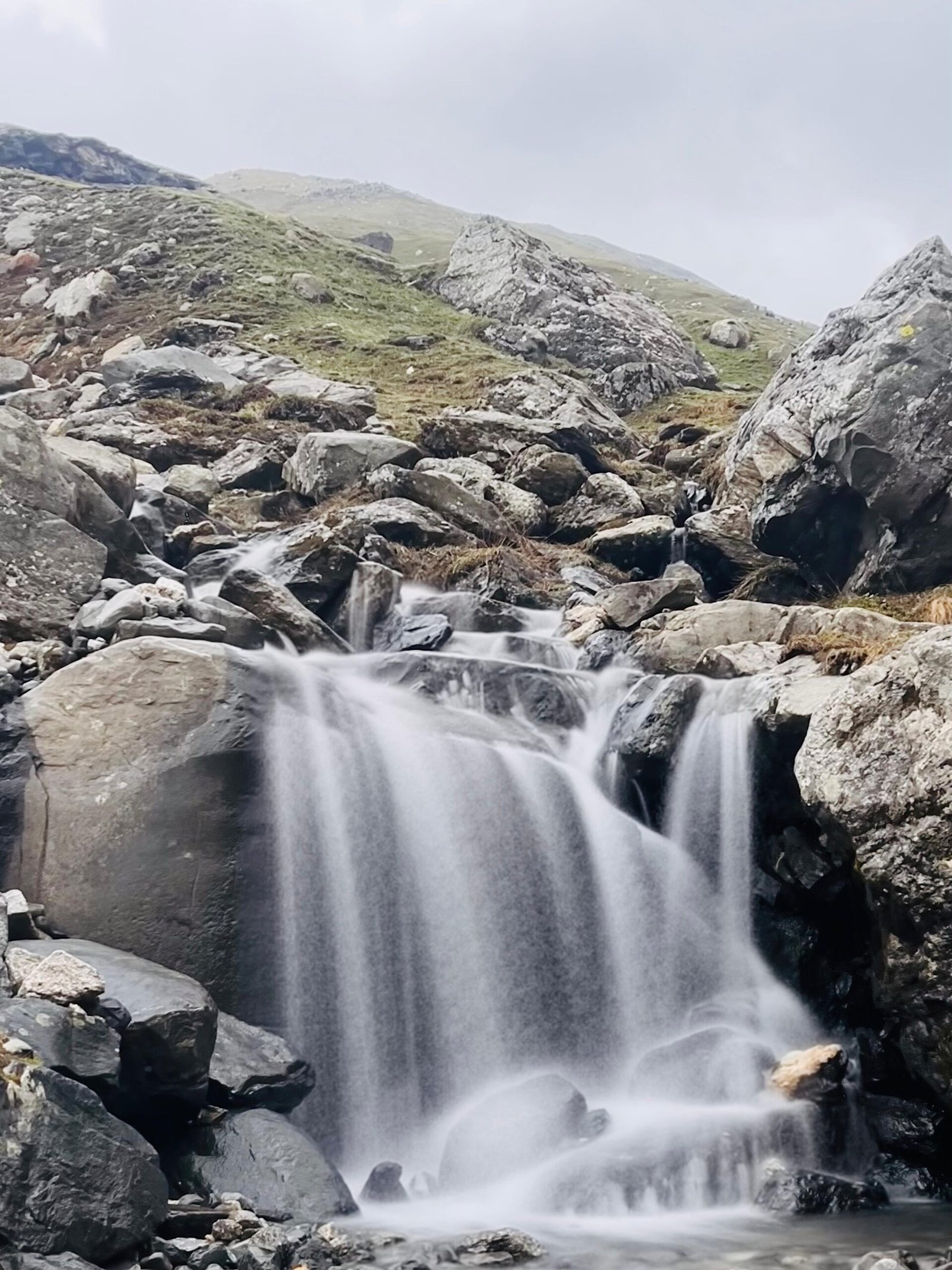
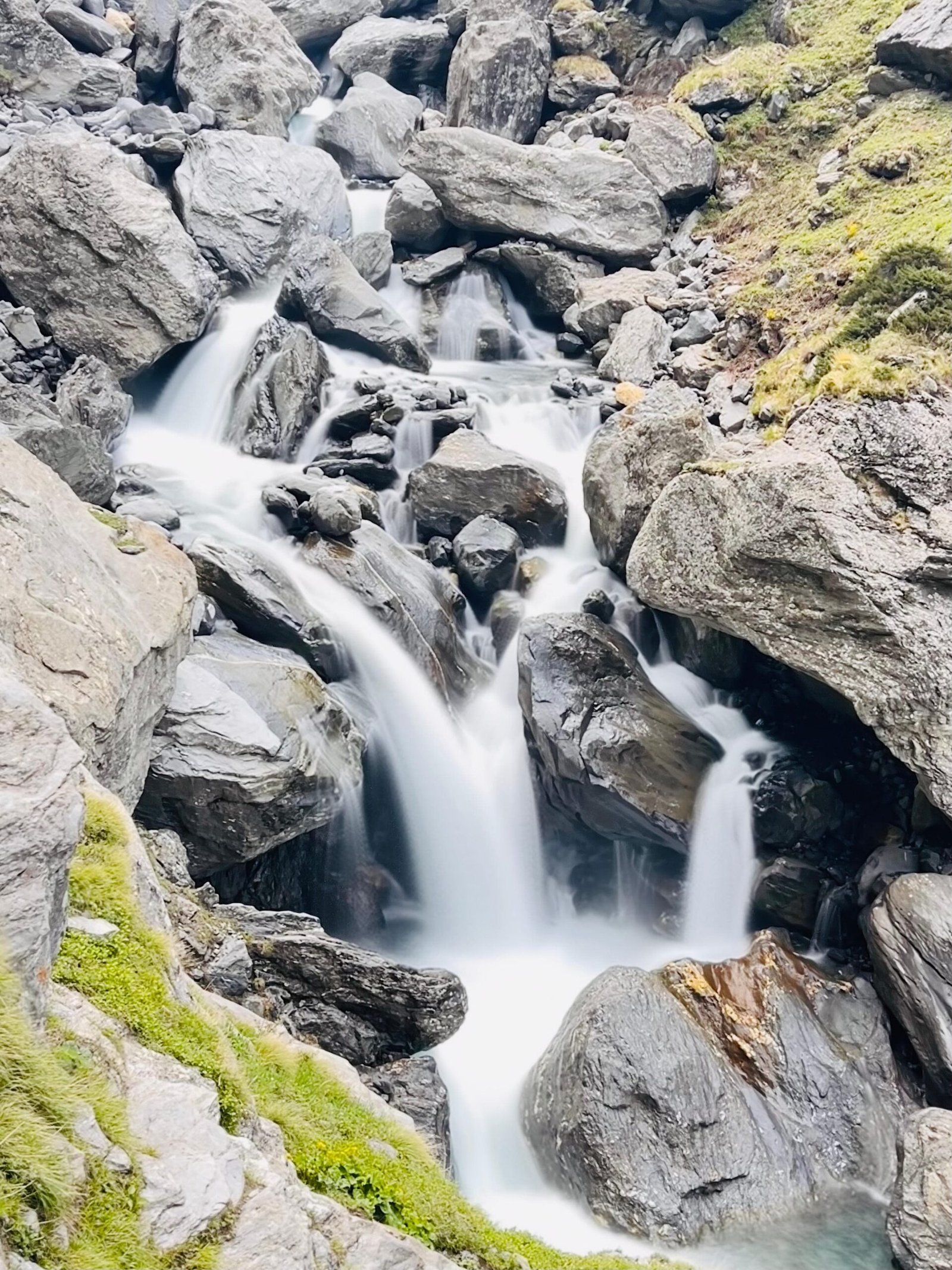
Overnight stay at the camp is included in the package. You will be provided with breakfast, lunch, and dinner during your stay (B/L/D). The trek distance for this part of the journey is 8.5 km and it usually takes around 6 hours to complete. The altitude at Chika is 10,100 ft / 3078 mtr and at Balu ka Ghera is 11,900 ft / 3627 mtr. The altitude gain is 1800 ft / 549 mtr and the trek grade is gradual to moderate. As you embark on your trek, you will be welcomed by a picturesque view of the river flowing on your right-hand side. To fuel your journey ahead, you will be served a delicious breakfast. Although the trail may be slightly challenging due to rough terrain, it won’t be too difficult. As you progress further, you will enter a beautiful forest adorned with Rhododendron trees. The snow-capped Dhauladhar range will be visible in all its glory, and you will also witness a mesmerizing waterfall along the way. To continue your journey, you will need to cross the river to reach the other side, where you will be greeted with an array of multicolored flowers. After crossing the river, you will arrive at a stunning campsite called Balu ka Ghera. The name of this campsite comes from a mound and sand-covered area, and the terrain becomes flat as you approach it. You can relax and enjoy the tranquil surroundings of Balu ka Ghera before continuing your journey ahead.
Stay: Overnight stay at the campsite. Meals: Breakfast, Lunch, and Dinner will be provided. Trek Distance: The total trek distance is 7 km and is expected to take approximately 10 hours. Altitude: The trek will cover three locations with varying altitudes – Balu ka Ghera (11,900 ft / 3627 m), Hampta Pass (14,100 ft / 4298 m), and Siagoru (12,900 ft / 3932 m). Altitude Gain: The altitude gain during the trek will be Balu ka Ghera to Hampta Pass (2200 ft / 662 m) and Hampta Pass to Shea Goru (1200 ft / 366 m). Trek Grade: This trek is rated as moderate to difficult. You will have hot tea with breakfast. The trek is divided into two parts: In the first half, you will be trekking from Balu ka Ghera to Hampta Pass, and in the second half, you will be trekking from Hampta Pass to Shea Goru. The trek from Balu ka Ghera to Hampta Pass is steadily ascending along moderately steep slopes until you reach Hampta Pass. From Hampta Pass, it is a downward descent to Shea Goru. The trail runs along the river’s side, with stunning views of tiny orange and yellow flowers offering a beautiful view. After that, the actual climb up to the Hampta pass starts, which is vertical. Once you have reached Hampta Pass, you can enjoy the breathtaking view from the point. From there, the trek descends, which is a little steep and should be done carefully. After you reach the bottom, you will reach the valley, after which lies Siagoru. This campsite is also along the riverside.
Stay: overnight stay at the campsite. Meal: B/L/D Trek Distance: 7 km, Time Taken: approx. 5 Hrs. Altitude: Siagoru (12,900 Ft / 3932 Mtr.), Chatru (11,000 Ft / 3353 Mtr.) Altitude Gain: 1900 Ft / 579 Mtr. Trek Grade: GradualThe trek from here on will be downhill and you would have to provide extra caution. The trail will be running right beside the river valley. Barren with no vegetation around the mountains. The scenic vista is totally different from the forest-covered hills. There will be two glaciers which you will be crossing. Upon crossing the second glacier you will start coming close to the Chatru and Chandra River flowing by the side.
Stay: none, Meal: Breakfast. Trek Distance: on road 85 km, Time Taken: approx. 4-6 Hrs. Altitude: Chatru (11,000 Ft / 3353 Mtr.), Manali (6730 Ft / 2050 Mtr.). Altitude difference: 4270 Ft / 1303 Mtr. On the last day you will be driving from Chatru to Manali, on the route you will be passing through Rohtang Pass. You could enjoy the mountain scenery for the last time before you get back to Plains. A return trip from the Chatru campsite towards Manali will be scheduled on the day five. After this 7-hour drive filled with sweet memories of the mountains You will arrive at Manali at night. The possibility of a night trip after 06:00pm to Delhi should hopefully go off to the most efficiently.
Location Map
Frequently Asked & Question
Book Your Tour
Reserve your ideal trip early for a hassle-free trip; secure comfort and convenience!






Leave a comment: