Rs.21,999/
Per PersonThe Warwan Valley trek is widely regarded as one of the most spectacular Xplorethedream, stretching from Ladakh to Jammu & Kashmir. It offers a unique and exceptional experience that surpasses well-known Kashmir destinations like Sonamarg, Gulmarg, and Pahalgam. The remote and isolated location of Warwan Valley adds to its allure, providing a side of Kashmir that remains unseen by many. The trail itself presents a blend of landscapes, starting in Trans-Himalayan terrain with barren mountains and transitioning into lush greenery typical of Kashmir. The journey culminates in a challenging pass day, featuring a tricky climb and a walk on the Bracken glacier, offering both breathtaking beauty and thrilling adventure.
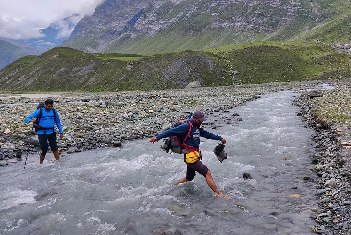
Embarking on the challenging journey through the Warwan Valley offers a thrilling experience amidst the lush green landscape as a rewarding opportunity following strenuous days of hiking. However, it is important to note that this trek is not suitable for everyone. While it promises to be the most breathtaking trek you will ever undertake, it presents various obstacles that demand physical fitness and prior high-altitude trekking experience. Traversing approximately 20 kilometers daily, you will encounter demanding terrains like glacier walks, moraines, and river overhangs that require careful navigation.
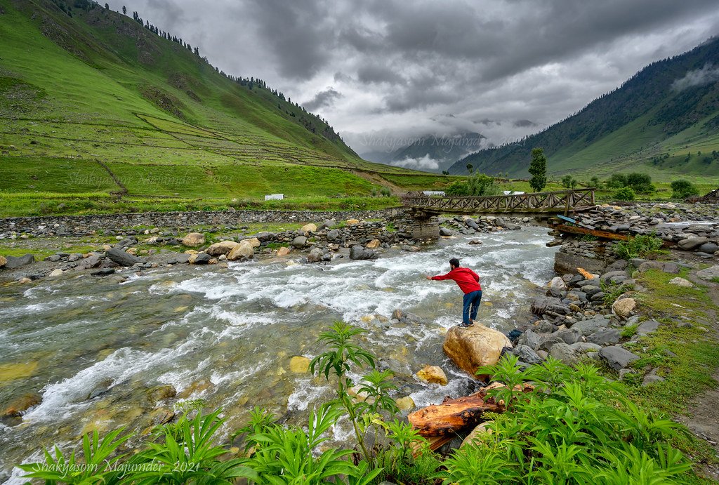
The Warwan Valley Trek is in Kashmir, at a height of 14,500 feet at its highest point. The total trek distance is 78 kilometers. A person who wants this trek must have done at least one trek before, as this trek will be a bit difficult. The location of Warwan Valley makes it a place to explore because of its isolation and remoteness. The daunting beauty of this trek changes while moving through the trail. When you start from Panikhar, you will see the deserted mountains, and as you walk forward, you will pass through river deltas, wildflowers, glaciers, and grasslands.
Included and Excluded
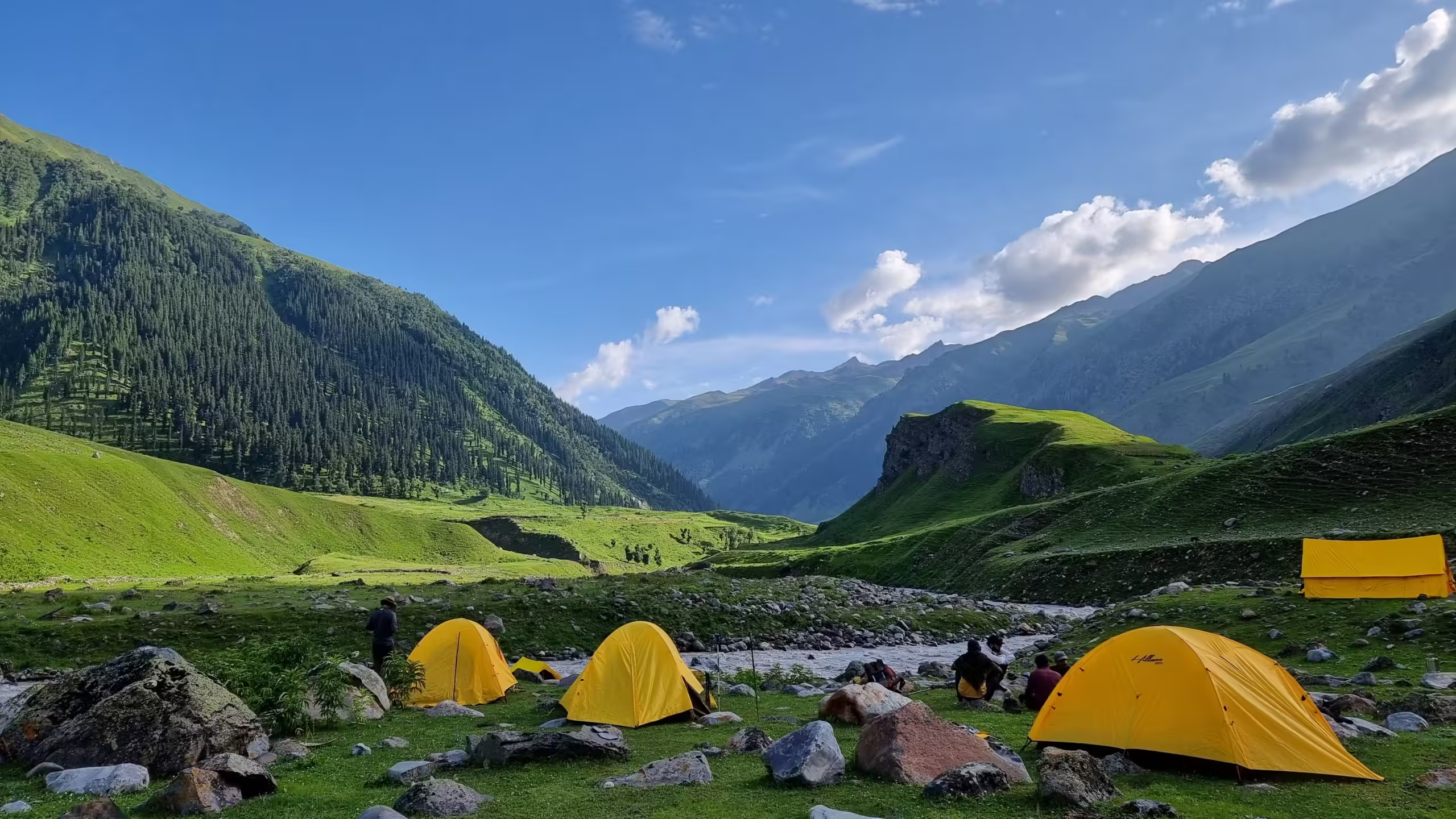
- Stay: 8 Nights of tented accommodation at individual campsites of Xplorethedreams on sharing basis.
- Meals: Xplorethedreams provided cooked meals during the trek starting with Dinner on Day 01 to Lunch on day 09 (Meals are simple, nutritious, and vegetarian and non-repeated meals).
- Transport: Srinagar to Panikhar, Chaudraiman to Srinagar on sharing jeeps
- Trek Insurance (Optional): Xplorethedreams recommends that all trekkers consider getting trek insurance. This is optional, but highly recommended. Trek insurance covers unexpected events that may occur during your trek. The cost of the insurance starts from INR 210.
- Trek Equipment: Sleeping bag, Sleeping tents, Kitchen tent, Dining tent, Toilet Tent.
- Amenities: All utensils, sleeping mattresses (Black foam mats), Crampons, and Gaiters for snow.
- Health & Safety: First Aid Box, Oxygen Cylinders, Stretchers, Oxi meters, BP Machines, health.
- Permits: Forest Permits and Camping Permission Fee
- Trek Crew: High Altitude Chef, Helpers, Trek Leader & Guides, and other support teams.
- Potters & Mules: Potters and Mules are to carry all trekking equipment, ration, and vegetables.
- GST 5% (it is Mandatory)
- Any Meals/accommodation beside the itinerary or not mentioned in the program.
- Any Bus / Airfare to/from trek start/end point
- Personal Medical expenses do carry your medication.
- Any personal services such as Laundry, phone calls, liquors, mineral water, etc.
- Any still / video camera fee
- Any Entrance fee Monuments, Monasteries, Museums, Temples – Pay directly on the spot.
- Mules or porter charges to carry private baggage (Offload Charges for bag 365 per day, per bag if paid online (at base camp 2,550). Note: Bag weight should not be more than 10 kg.
- Any emergency evacuation charges
- Any services that are not mentioned in the cost inclusion section.
Highlights of the Tour
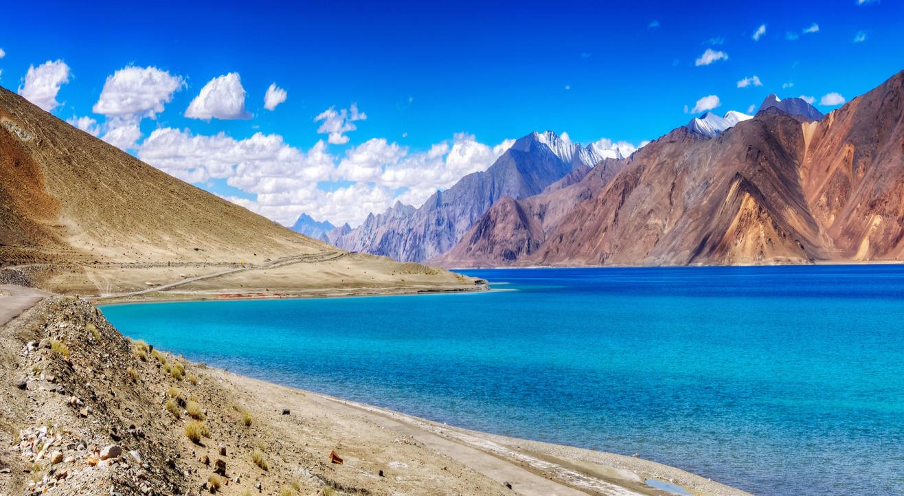
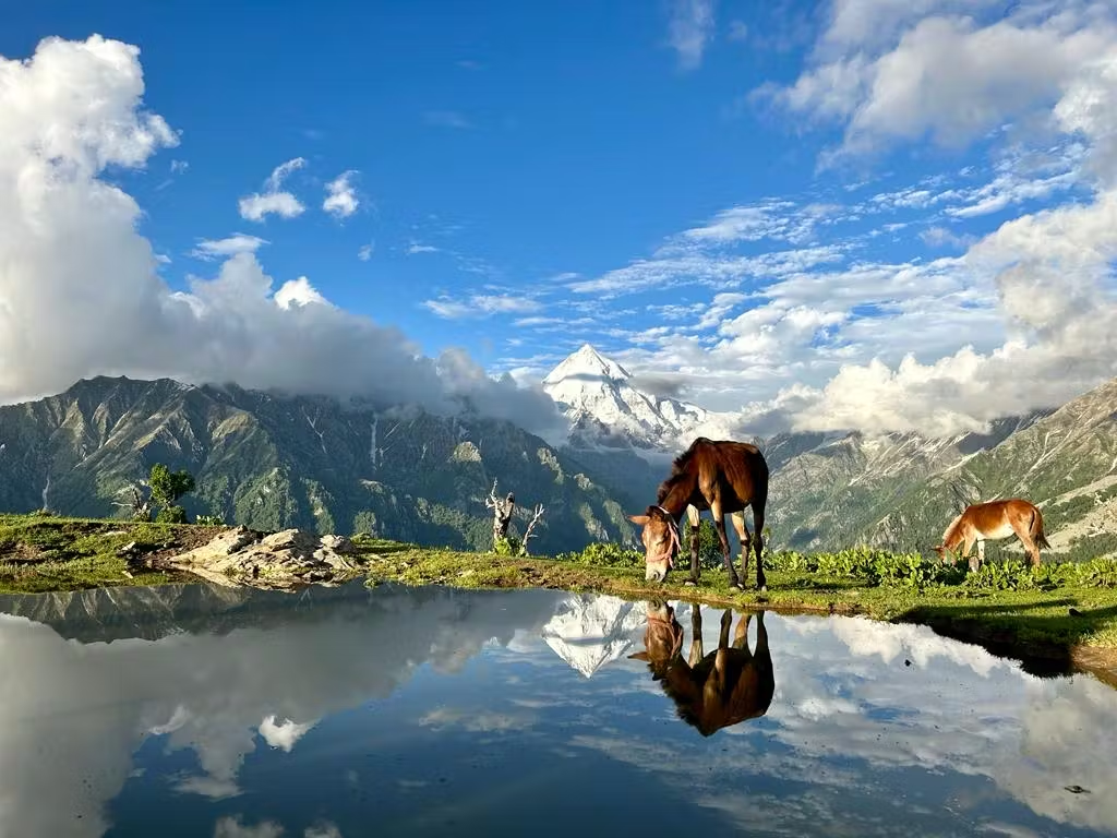
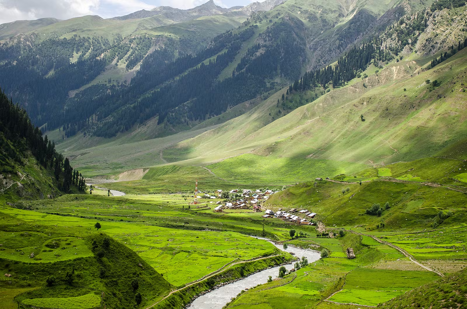
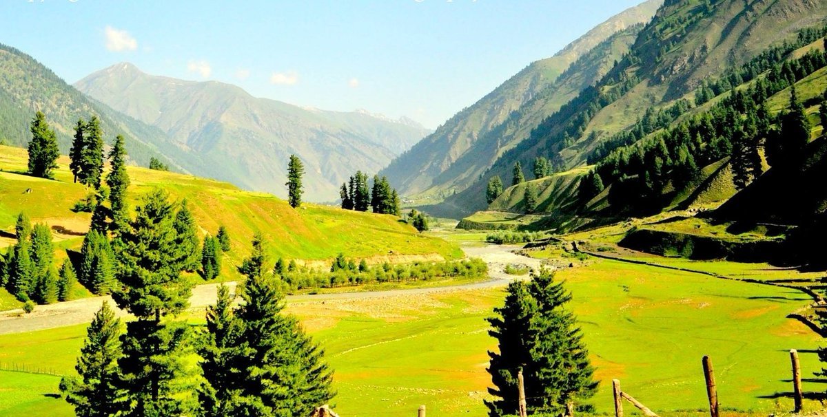
- Breathtaking Natural Beauty: The valley is incredibly scenic, with lush green meadows, crystal-clear rivers, and towering mountains. It’s a perfect place for those who love peaceful, untouched landscapes.
- Off-the-Beaten-Path: Warwan Valley is still largely undiscovered by tourists, making it a quiet and serene destination, ideal for those who want to experience nature without crowds.
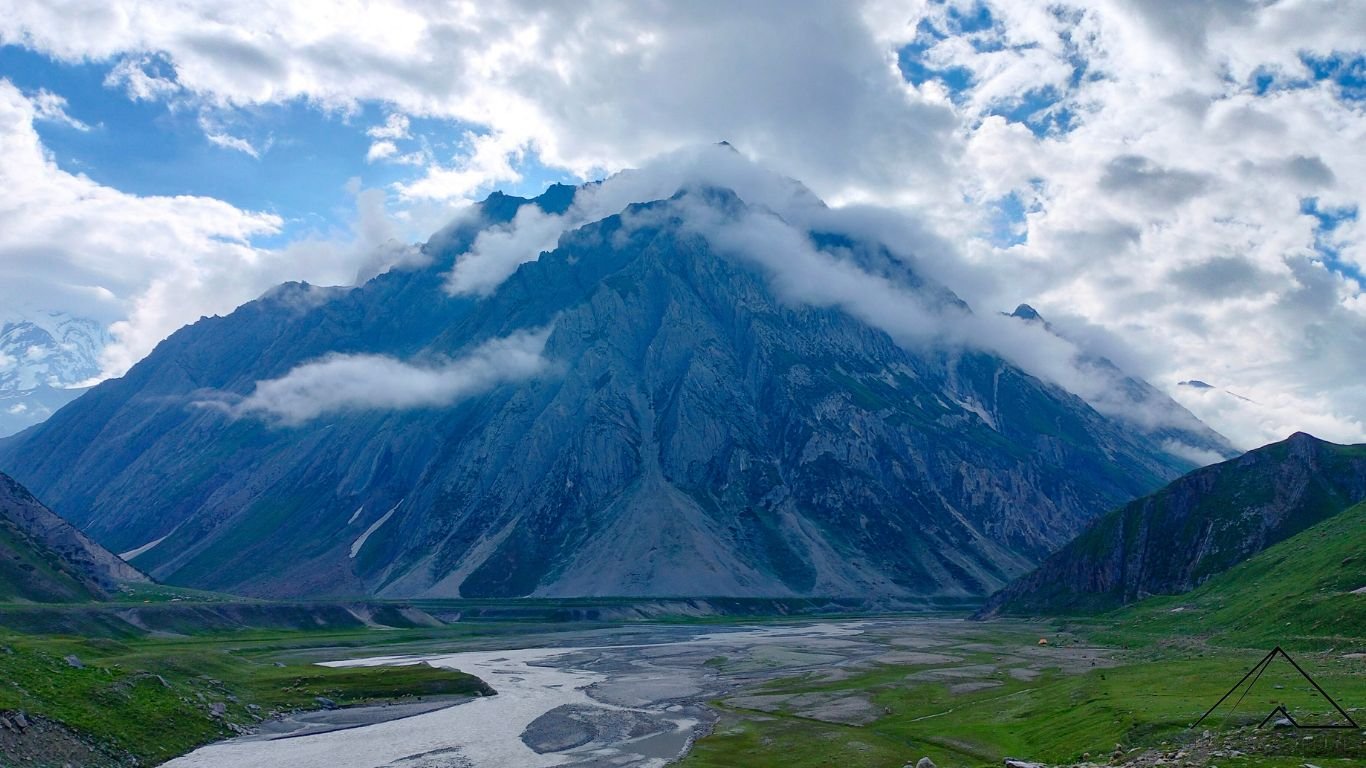
- Majestic Mountains: The valley is surrounded by the snow-capped peaks of the Greater Himalayas, providing spectacular views throughout the trek.
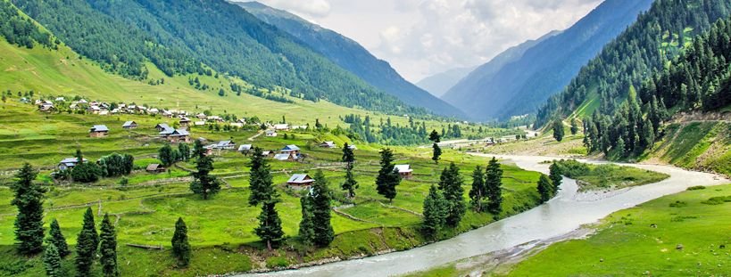
- Traditional Villages: You’ll pass through small, remote villages where people live a simple and traditional lifestyle. You can experience the local culture and hospitality firsthand.
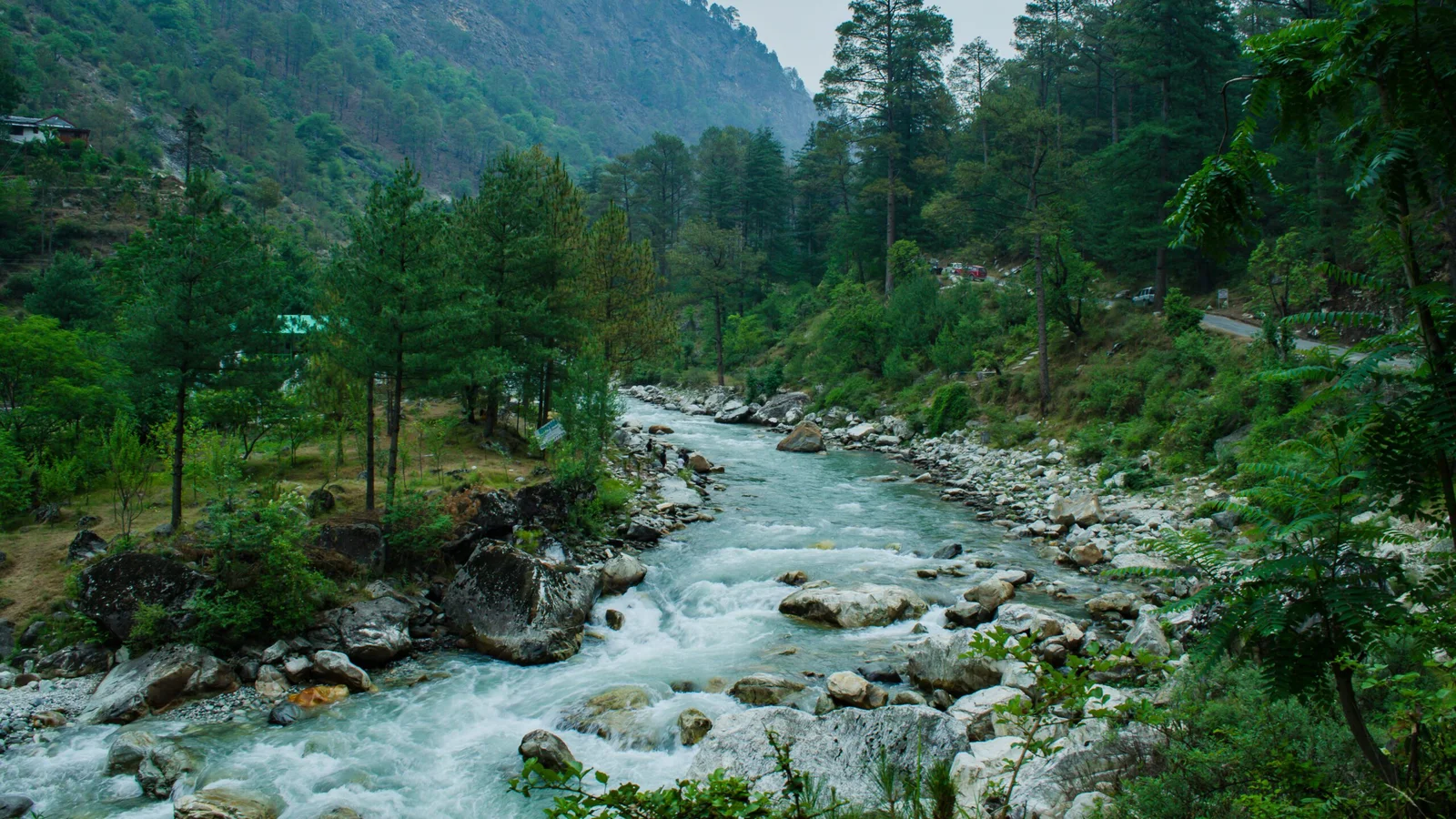
- Warwan River: The pristine Warwan River flows through the valley, offering beautiful riverside views and opportunities to relax by the water.
- Diverse Flora and Fauna: The valley is rich in wildlife and plant species. You might spot animals like Himalayan bears and birds, as well as beautiful wildflowers along the trek.
- Adventure Trekking: The trek through Warwan Valley is challenging but rewarding, taking you through rugged terrains, over mountain passes, and alongside rivers, making it an exciting journey for experienced trekkers.
Itinerary
Stay: overnight stay at the campsite Meal: Lunch and Dinner Distance: 265 km Time Taken: approx. 10 hrs Altitude: Srinagar (5200 ft / 1585 meters), Pankhar (10,700 ft / 3261 meters) Altitude gain: 5500 ft / 1676 meter Today’s journey will begin with a 10-hour ride; the first destination you will reach is Sonamarg which is picture-perfect. And like Sonamarg, you will pass through Zogila Pass, Dras, Kargil, and Panikhar. On the way, you will pass through grasslands and some secluded villages. You might also get to see traditional Zanskari houses in towns like Panikhar. Once you have reached Panikhar, you should get ample rest.
Stay: overnight stay at the campsite Meal: Breakfast, Lunch, and Dinner Altitude: Panikhar (10,700 ft / 3261 meters) Use this day to rest and let your body get acclimatized, and you can use this day to explore the Panikhar village and nearby landscape. As you come by road, you will have come a long distance and be trekking to a high altitude. When you are exploring the village, you will see local farmers busy with their day-to-day life, and when you get to meet them, they seem very welcoming.
Stay: overnight stay at the campsite Meal: Breakfast, Lunch, and Dinner Trek Distance: 14 km Time Taken: approx. 6 hrs Altitude: Pankhar (10,700 ft / 3261 mtr), Denora (12,350 ft / 3764 mtr) Altitude gain: 1650 ft / 503 meter Trek grade: Moderate to Difficult Begin your morning with a warm breakfast and hot tea, after which you prepare for the trek. The trek begins from Panikhar; from Panikhar, you will soon reach Panikhar Nala/ Chalong Nala. After crossing the bridge over the river, you will see a change in the scenery. You will walk through the narrow valley until you reach the check post of local authorities, where you would have to do customary formalities and then continue the trek. The trail is a four-wheel dirt trek where the landscape changes to a deserted mountain. On the side is Chalong Nar River, which roars through the boulders and rocks. On the trail from there onwards, you will be crossing many streams of water, which is drinkable, but you don’t need to stop at all the streams. There is a place that comes after where you could take a few minute’s breaks known by the locals as Doksa (meadow). Afterward, you would come to Bakarwal settlements after the curved trail, then cross a stream with boulders. Chalong Nala then reaches flat basins where it spreads, where you will see lush meadows. Soon after, you get Denora, which lies round the bend.
Stay: overnight stay at the campsite Meal: Breakfast, Lunch, and Dinner Trek Distance: 3 km Time Taken: approx. 3 hrs Altitude: Denora (12,350 ft / 3764 mtr), Kalapari (12,875 ft / 3924 mtr) Altitude gain: 525 ft / 160 meter Trek grade: Gradual to Moderate The following day you will wake up to the smell of icy water; as you prepare to begin the trek, you will see that the trail lies through the streams on the basin. The first landmark you would cross is the Bakarwal settlement at the valley’s base. Once again, you would have to pass through the river basin, after which you would cross Bakarwal huts. Walking further on the trail, you will unfold various meadows and wildflowers. Soon you will reach the camping site with a clear view of the Kalpari top and glaciers, and below that is your camping site.
Stay: overnight stay at the camp Meal: Breakfast, Lunch, and Dinner Trek Distance: 17 km Time Taken: approx. 11 hrs Altitude: Kalapari (12,875 ft / 3924 meters), Lomvilad Pass (14,550 ft / 4435 meters), Kaintal (11,550 ft / 3520 meters) Altitude difference: Kalapari to Lomvilad Pass (1675 ft / 511 meters), Lomvilad Pass to Kaintal (3000 ft / 915 meters) Trek grade: Moderate to Difficult In the early morning, have a healthy breakfast and prepare for the challenging and long trek at other campsites. The trail will be covered in snow, and some places might have glaciers. You won’t need cumbersome equipment but just a trekking pole. After you have come far from the campsite, you will pass through moraines and the one lake on this trail with glacier bits floating. On this lake lies a massive brackish glacier named Kaintal Glacier. As the trail progresses, you will be crossing through another glacier. As you get right below Kalapari mountain, you will know as you will see moraines. You will then reach Lomvilad Pass. After that, there you will pass various frozen lakes. The trail will then pass through the snow; you will walk down until you see the entrance to the valley. Then you would reach the river basin, which is at the bottom of the glacier, and there lies your camping site.
Stay: overnight stay at the campsite Meal: Breakfast, Lunch, and Dinner Trek Distance: 17 km Time Taken: approx. 6 hrs Altitude: Kaintal (11,550 ft / 3520 meter), Humpet (10,950 ft / 3338 meters) Altitude gain: 600 ft / 182 meter Trek grade: Moderate to Difficult In the morning, wake up to a picturesque view and start your trek from Kaintal. The trail runs along the side of a river. You will then pass through a few Gujar huts; you will then be passing through a few streams. And after crossing the stream, you will come to the river basin; meadows are along the bay. After crossing a few grass fields, you will reach the camping site Humpet.
Stay: overnight stay at the campsite Meal: Breakfast, Lunch, and Dinner Trek Distance: 16 km Time Taken: approx. 8 hrs Altitude: Humpet (10,950 ft / 3338 meters), Sukhnai (9225 ft / 2812 meters) Altitude gain: 1725 ft / 526 meter Trek grade: Moderate to Difficult On this day, the trek will descend the hill; you should also be well prepared for this trek. You will be passing through two valleys before you reach Sukhnai. The route to the Amarnath yatra will also be visible from this trek. First, there is an ascend to the ridge, and once you have reached the ridge, you will be going down the hill. Walking down, you can catch sight of Gujjar huts, Kaintal Nala, and Silver birch trees. After crossing the silver birch tree forest, you will walk on a precariously steep trail until you arrive at a point where trails lead on different sides. You would be following the trail, which is at the top, and then hiking till you reach a waterfall. The trail gets steeper from there on; as you reach the bottom, you will see a clear stream merging into Kaintal Nala to make it one large river. As you come to the end of the valley, you will come across an overgrown army post known by the name Police Kotha. In the other direction of the trail, you will see the Sheshnag trail and know that you have entered Warwan Valley and Kashmir. Then you continue down the trail, and here you are in a tricky section because it is prone to landslides. Once you reach the bottom, you will cross a few streams, some with wooden bridges and some permanent bridges, as you come close to Sukhnai Village. You will notice Sukhnai Village as you continue the trail. It will become evident when you see extensive grasslands across the trail.
Stay: overnight stay at the campsite Meal: Breakfast, Lunch, and Dinner Trek Distance: 18 km Time Taken: approx. 8 hrs Altitude: Sukhnai (9225 ft / 2812 mtr), Chaudraiman (8300 ft / 2530 mtr) Altitude difference: 925 ft / 282 meter Trek grade: Gradual to Moderate On the last day of the trek, you will be enjoying the beauty offered by the valley for the last time. This includes grasslands, the lovely Rekenwas village, and the river Marwah. The trek consists of uphill and downhill with farms and pastures. As you come close to the village, you might see some villagers walking past to go to another village. Past the river, you will see Rekenwas village; from there, keep walking by the Marwah River till you see a wooden bridge to cross. The trail then passes through farms and descends slowly after the farms. As you approach Gumbar Village, some coniferous trees lie ahead. As you come close to the village, you will start seeing barn houses and villagers on horses. After you cross the barn, you will see a trail leading in two different directions, and you will follow the trail leading to the right. Then you will go up to a mound, and from the stack, you will go downhill; you will soon arrive at Margi village. After that, you will again cross rivers through a wooden bridge and reach Basmina Village. As you move out of the village, as you walk through, the trail becomes wide enough for four-wheelers which means you are close. After walking for a few hours, you will reach the camping site Chaudraiman.
Stay: no stay Meal: Breakfast Distance: 153 km Time Taken: approx. 9 hrs Altitude: Chaudraiman (8300 ft / 2530 mtr), Srinagar (5200 ft / 1585 mtr) Altitude gain: 3100 ft / 945 meter This day will be spent driving from Chaudraiman to Srinagar; the road will be thrilling, with some scenic views. As you reach Srinagar, our team will bid farewell to you, and you will be on your own to proceed where you desire.
Location Map
Frequently Asked & Question
Book Your Tour
Reserve your ideal trip early for a hassle-free trip; secure comfort and convenience!







Leave a comment: